DAT/EM Systems Europe GmbH – Precision in 3D Data Capture
DAT/EM Systems Europe GmbH – Your Specialist for Software Solutions in Photogrammetric Stereo Image Measurement
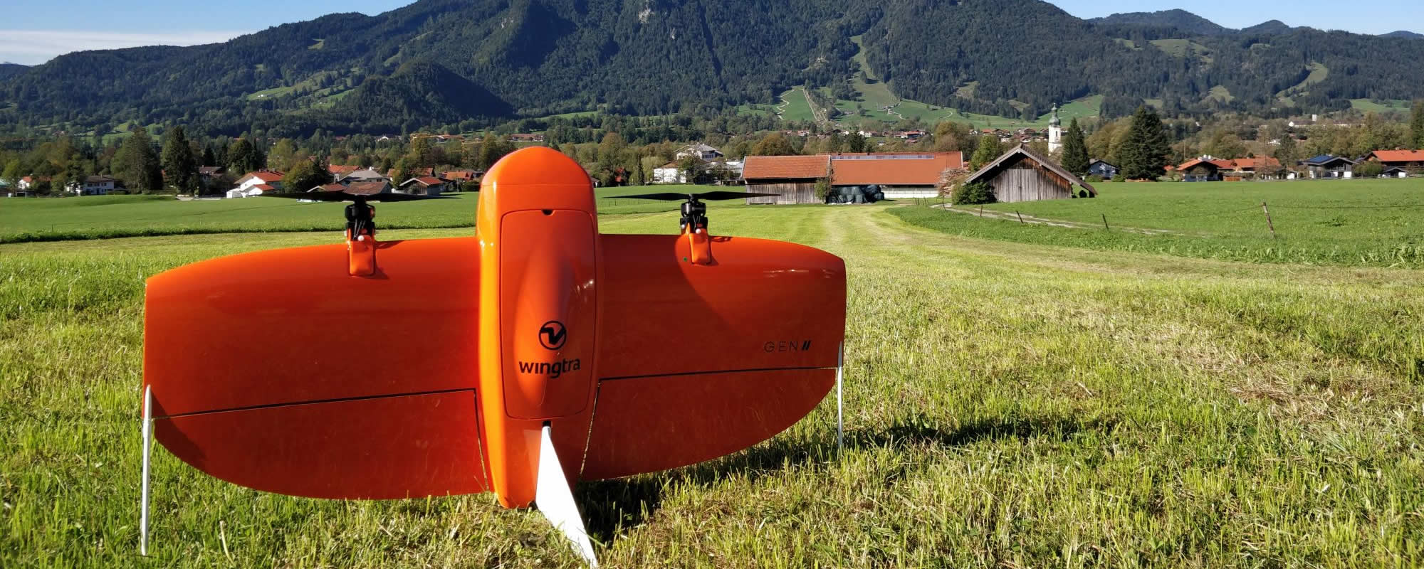
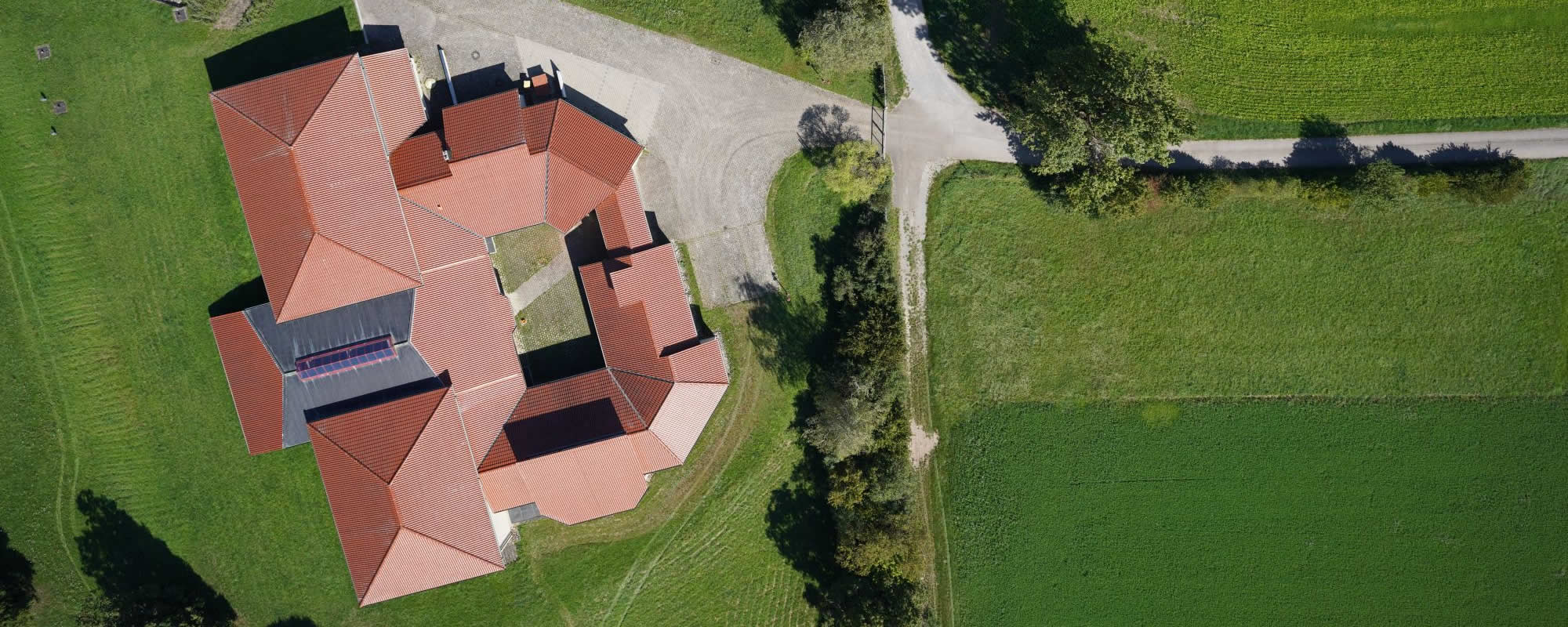
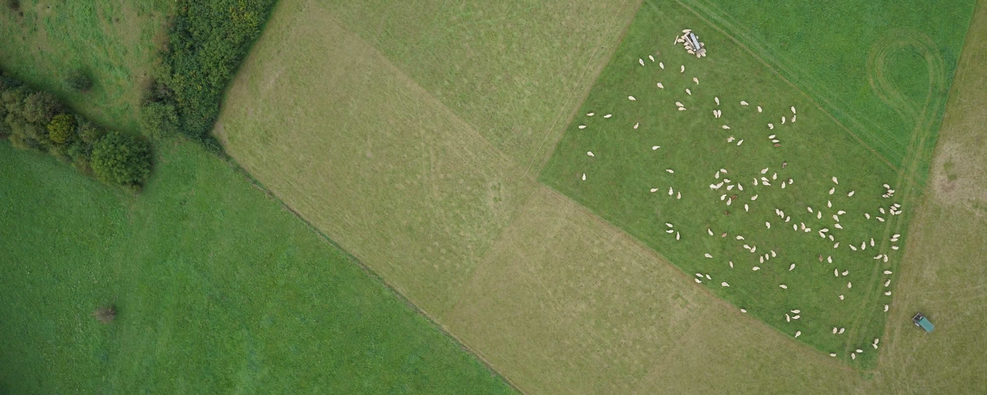
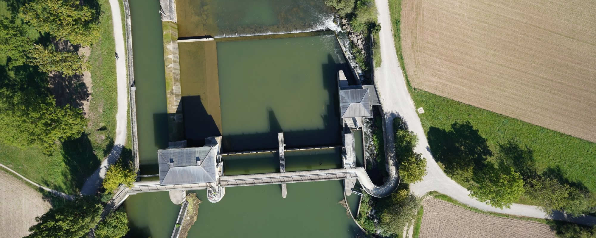
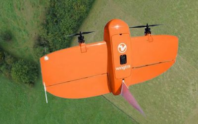
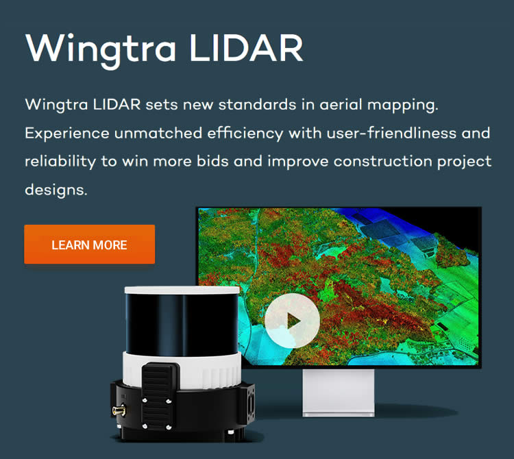
We provide powerful software for precise 3D data capture as well as the innovative mapping drone from the Swiss company Wingtra.
Our portfolio not only includes software but also customized hardware components for a seamless workflow: state-of-the-art 3D stereo viewing systems, high-performance workstations for stereo mapping, and comprehensive services to optimize your work processes.
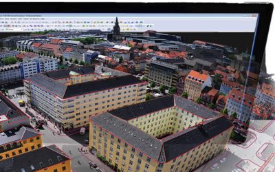
Our partner, DAT/EM Systems International, based in Anchorage, Alaska, has been developing pioneering photogrammetric software since 1987. With the digital stereo plotter Summit Evolution and the powerful LandScape tool for point cloud processing, we set standards in the precise capture and processing of 3D data.
Rely on top-notch technology and years of expertise – for perfect results in geodata processing.
Powerful software for precise 3D data acquisition
Our software solutions set the standard in photogrammetric stereo image measurement, point cloud processing, and mapping. Whether it’s high-precision 3D data acquisition, efficient workflows, or seamless integration into existing systems – our software provides the perfect solution for your needs.
Explore our software portfolio and find the right solution for your projects.


Optimal hardware for your 3D software solutions

The right hardware is essential for maximizing the performance of our software solutions. With 3D PluraView stereo monitors, high-performance workstations, and precise 3D mice, we provide the perfect equipment for professional applications in photogrammetry, GIS/mapping, LiDAR 3D, laser scanning, CAx, and more.
Benefit from razor-sharp 3D stereo visualization, intuitive operation, and an ergonomic working experience – perfectly tailored to your needs in 3D data acquisition and analysis.


Suitable accessories for your Wingtra drone
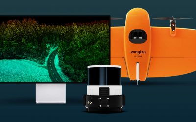
Get the most out of your Wingtra drone with high-quality accessories, powerful software, and specialized sensors. Optimize your operations in surveying, mapping, agriculture, and more with perfectly tailored solutions.